
Beaches · North-west Phuket
Mai Khao Beach: Space, Sand and Low-Flying Aircraft
Mai Khao is often described as Phuket's longest beach, as though length alone settles the question of how good it is. I don't think it does. Some of Phuket's shorter beaches are prettier.
A lot of coastline
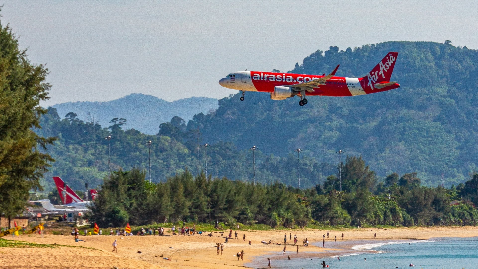
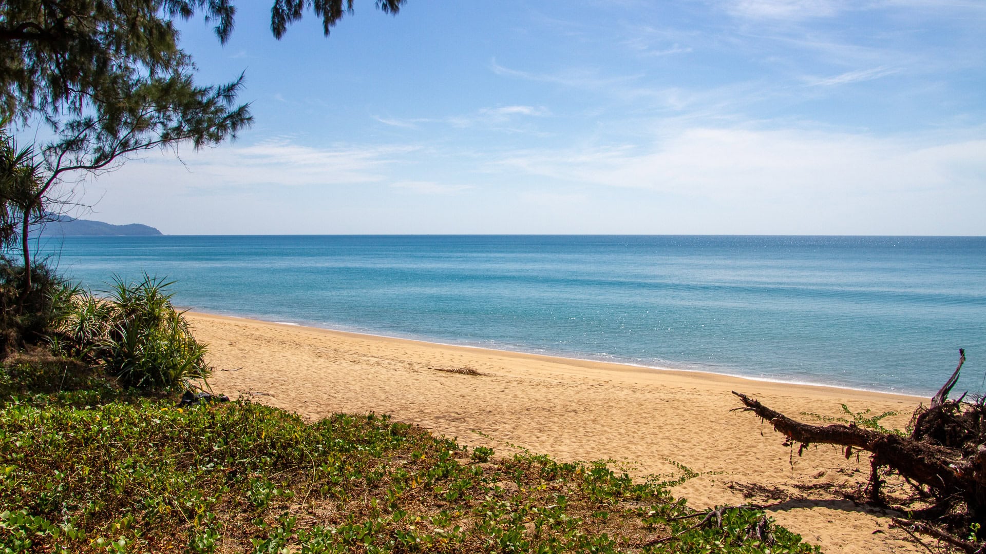
I still like Mai Khao. There is room to walk, a relatively open coastline, and at the southern end an unusual attraction: aircraft that can arrive so low over the sand that you can watch them cross the beach on their way to the runway. I've been back several times for that sight. But I wouldn't judge the whole beach by the few hundred metres beside the airport.
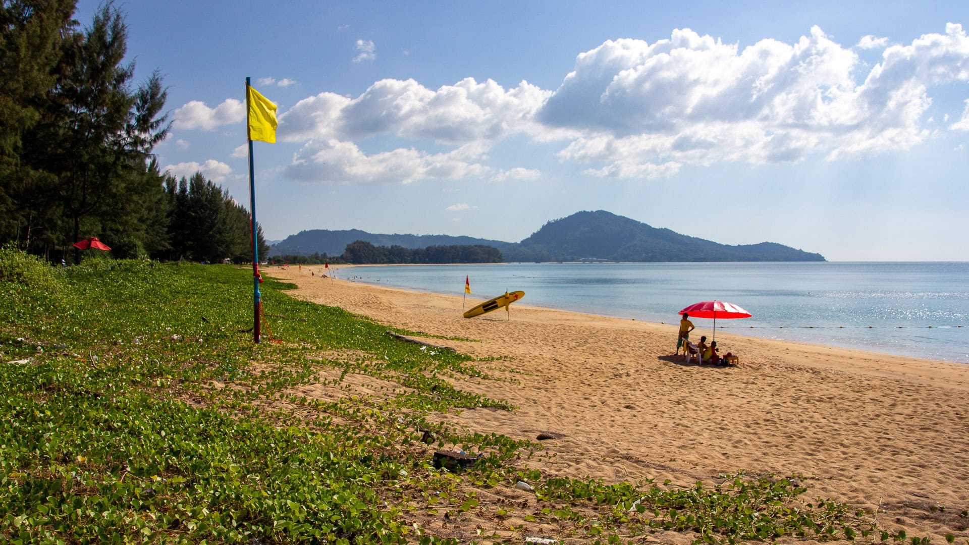
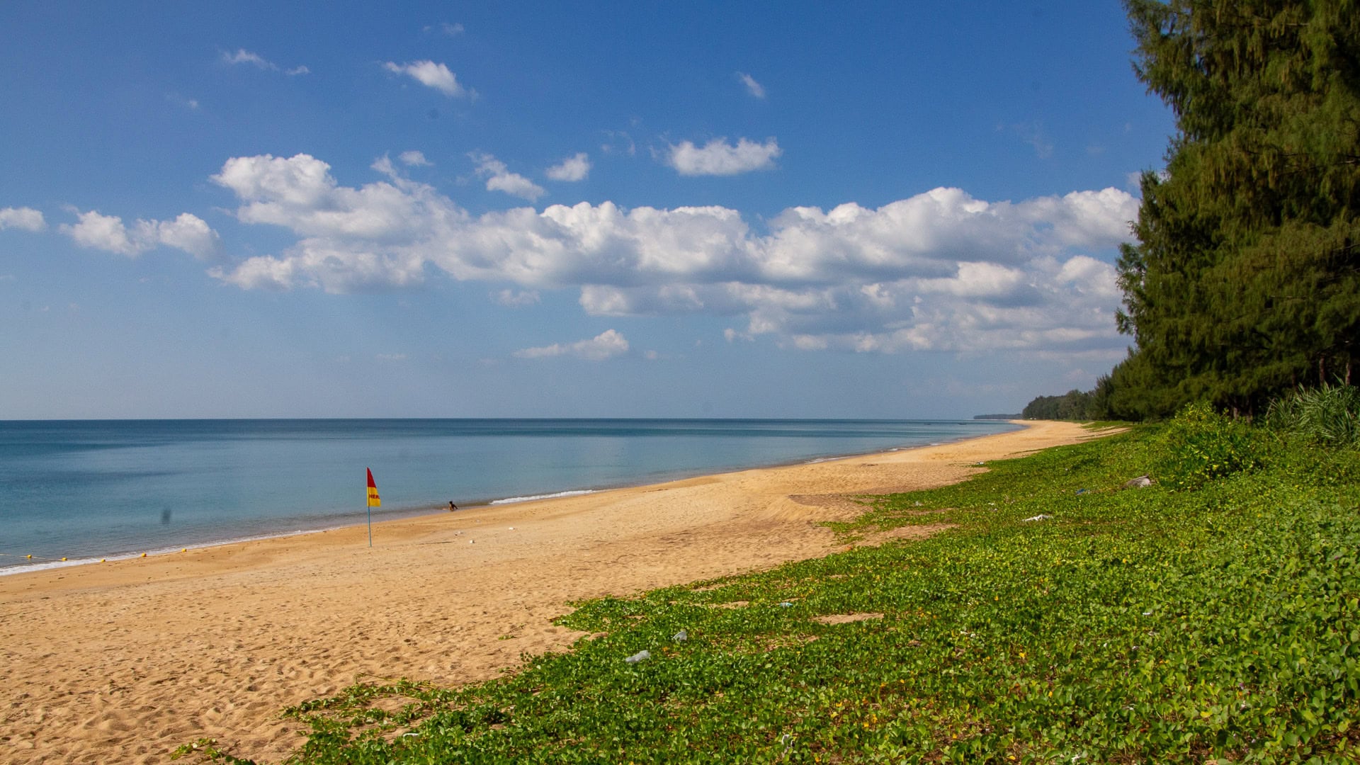
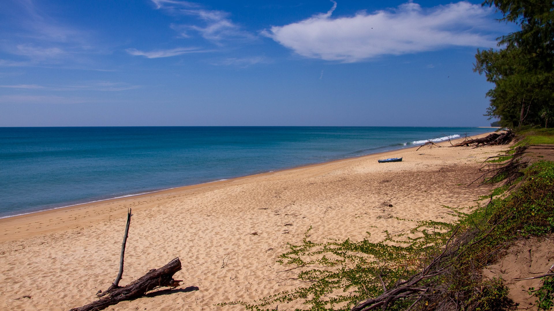
Mai Khao is often said to stretch for about 11 kilometres. I haven't walked all of it, but I've explored sections north of the airport. The shoreline seems to carry on without much interruption.
At Kamala, you can see from one end of the bay to the other. The headlands give the beach a beginning and an end. Mai Khao has no such frame: it is a long, fairly straight coastline, and one stretch can look much like the next. I often find smaller, naturally enclosed bays more attractive.
What you gain is room. I like Mai Khao because you can find a piece of sand without many people nearby, then walk as far as you please.
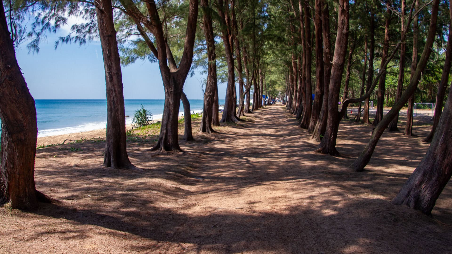
There are hotels, including substantial resorts, along parts of the coast. Elsewhere, trees stand behind the sand and development is less visible. The difference matters when deciding which part to visit. It is neither deserted nor crowded in the way Patong can be.
A long beach, but not one name all the way north
The names on the map can be confusing. Google Maps makes it easy to imagine that Mai Khao continues almost to Phuket's northern tip. Farther north, however, Sai Kaew is separately named, and Haad Pak Phra lies near Sarasin Bridge, on the strait between Phuket and the mainland. The provincial government's description of Sirinat National Park lists Mai Khao and Sai Kaew as different beaches.
The sand has no neat boundary markers. A map pin for Mai Khao Beach is therefore not necessarily useful for the airport viewpoint or a particular hotel.
Much of this coast is associated with Sirinat National Park. The coast has a history of sea turtle nesting, though don't expect to see turtles on an ordinary visit.
Swimming and spending time here
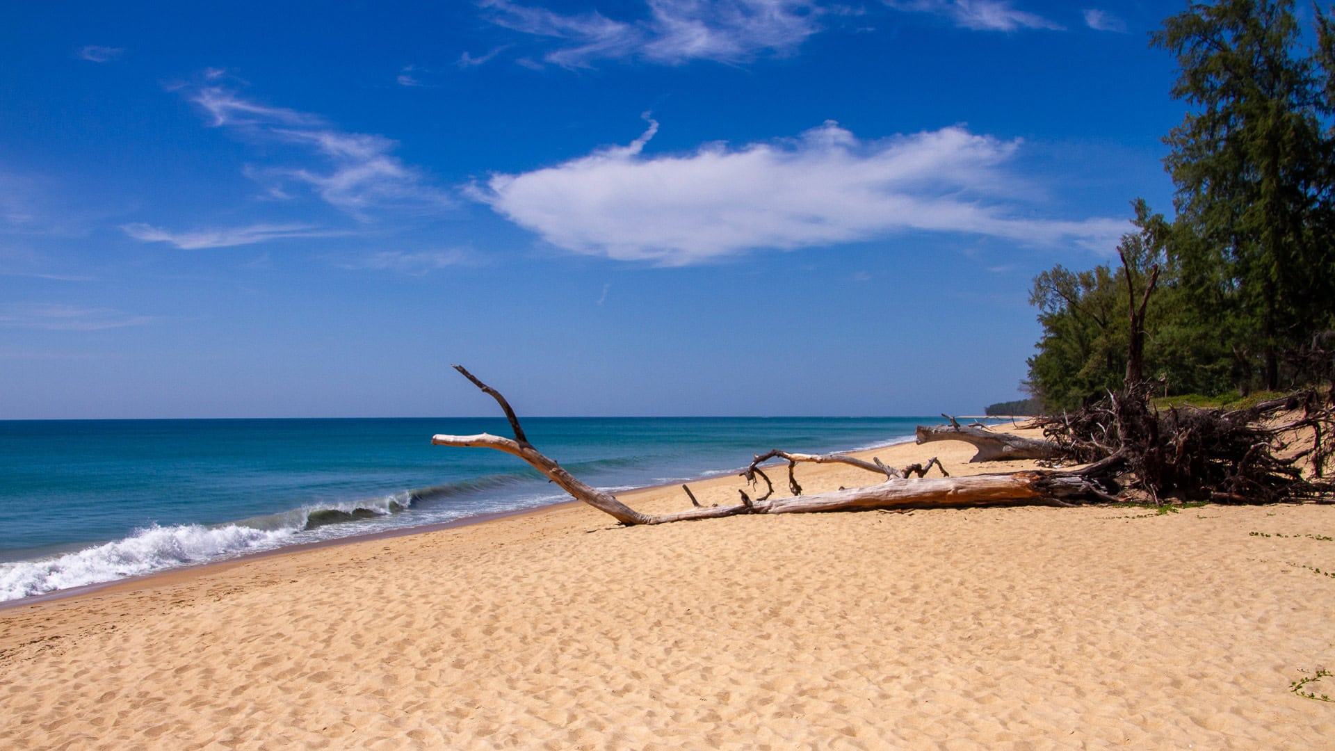
People do swim at Mai Khao. I have seen plenty of them, so it would be wrong to describe the entire beach as unsuitable for swimming. But this is an exposed Andaman Sea shoreline, not a sheltered little bay. The water can deepen quickly, and in the south-west monsoon, roughly May to October, waves and currents can be strong. The drier months are often calmer, but check the sea and local flags before entering.
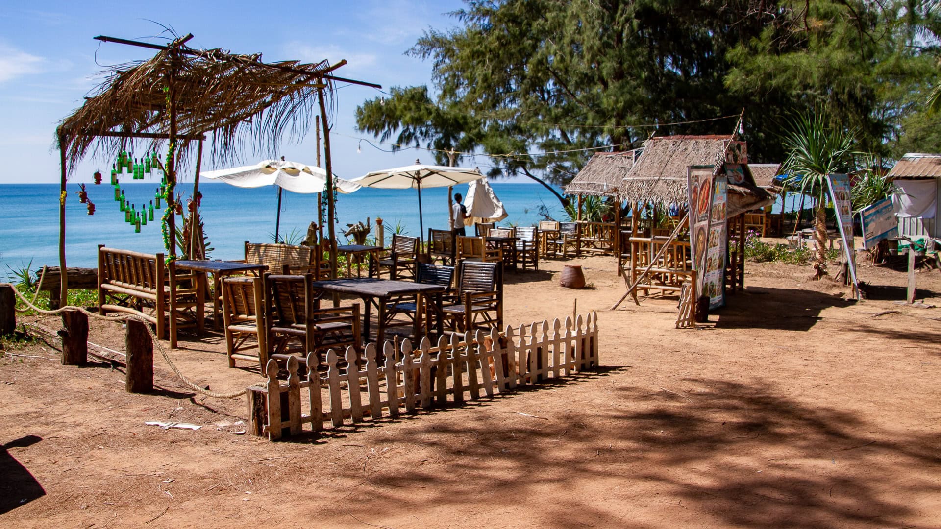
The open western view is particularly pleasant towards sunset, and there is space to enjoy it without being surrounded by sunloungers. Shade, restaurants, toilets and other facilities vary along the coast; it is not one organised resort area. A hotel stretch, a quieter section north of the airport and the busy aircraft viewpoint can offer quite different visits.
Going to see the aircraft
The plane-watching spot is at the southern end of Mai Khao, beside the western end of the airport runway. When the wind suits, landing aircraft approach over the Andaman Sea and pass low above the sand. When the runway is used in the other direction, aircraft take off towards the water instead. Still interesting, but not the photograph many people came for. A flight timetable alone won't tell you which direction is in use.
Getting to the aircraft viewpoint
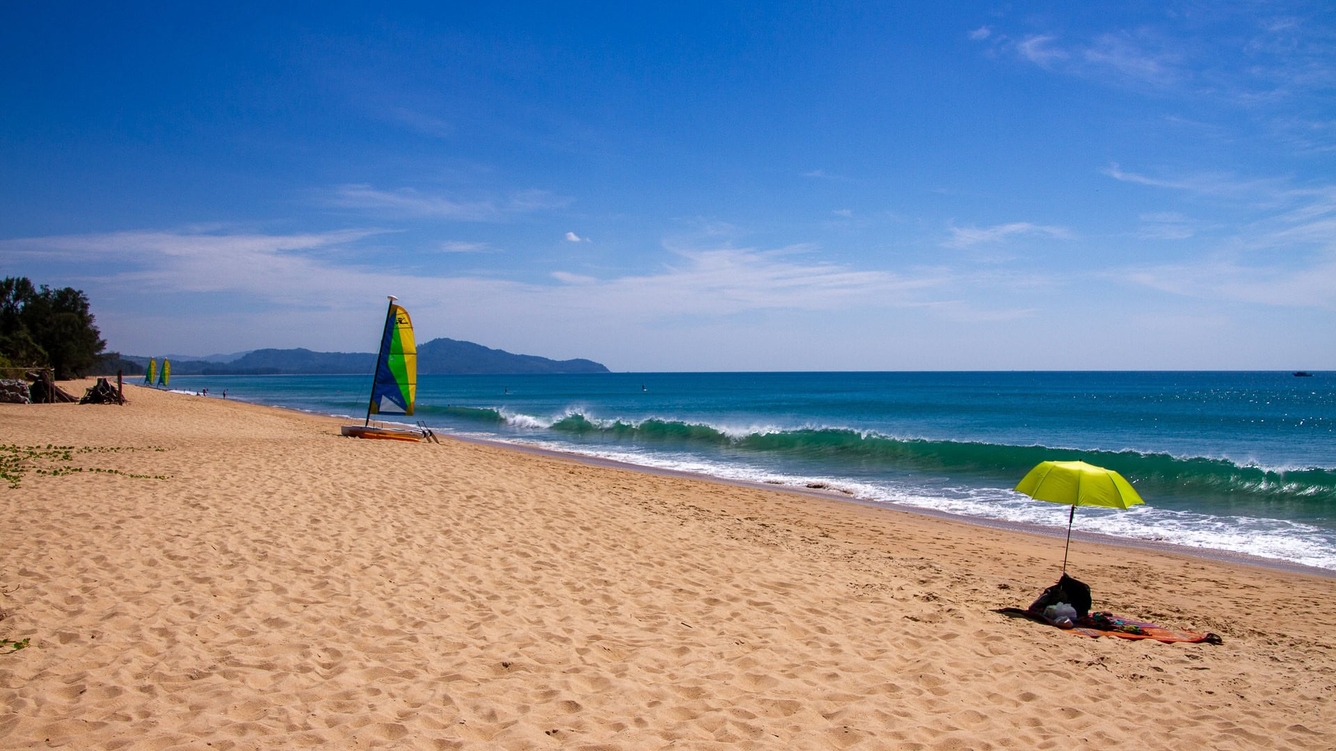
I have approached the viewpoint from the north side of the airport on most of my visits. You can drive towards the beach and look for parking beneath the trees. The walk from there is fairly short, although finding a parking space can sometimes take more patience than the walk itself. That is the approach I usually find easiest, even if the parking is not always easy. There are toilets in the area, but I would not assume every facility is open at all times.
You can also approach from the Nai Yang side through the Sirinat National Park area, park and continue on foot along the beach. The walk can be longer, and entry arrangements may apply at managed park entrances.
The airport section is busier than the coast farther north. Keep to permitted public areas and follow the airport warning signs.
Would I recommend Mai Khao?
Yes, with the right expectations. I think Phuket has prettier, smaller bays. Mai Khao's long shoreline can feel repetitive.
But I still like it: plenty of room to walk, somewhere quiet to sit, and aircraft at the southern end when you want something different. Even if the wind sends the planes the wrong way, the beach is worth the trip.
Planning your visit
Choose your destination before setting off. The airport viewpoint is only a small part of Mai Khao; the hotel areas and quieter sections farther north have different access routes.
Mai Khao Beach on Google Maps
Open Mai Khao Beach in Google Maps. This is a general beach location, not a verified parking space or entrance for the aircraft viewpoint.
Common questions
Is Mai Khao worth visiting without the aircraft?
Yes, if you enjoy long walks and space. It is an open, relatively straight coastline rather than one of Phuket's smaller, sheltered bays.
Can you swim at Mai Khao?
People do swim here, but it is an exposed beach with conditions that change by season and day. Check the surf and local flags.
Where do the aircraft pass overhead?
At the southern end beside Phuket International Airport. Low landings from the sea depend on which runway direction is being used.
Is parking easy at the airport viewpoint?
Not always. The approach from north of the airport has parking beneath the trees, but spaces can be limited. The viewpoint requires a short walk from that area.
Explore the northern coast
Continue north to Sai Kaew Beach , or see Haad Pak Phra Beach near Sarasin Bridge. For seasonal conditions, read our Phuket beach safety guide .
